Sol 4553: Back to the Boxwork!
- Curiosity rover has returned to its “boxwork” terrain area, where it will investigate targets dubbed “Sisquoc River” and “Palo Verde Mountains”.
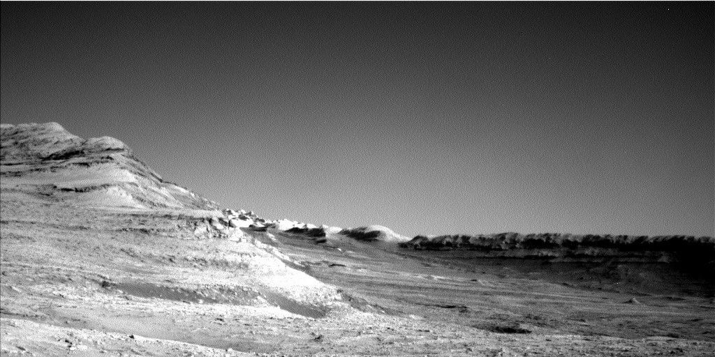
- The rover acquired an image of its workspace using its Left Navigation Camera on May 27, 2025, showing resistant, ridge-like features that are of interest for studying fluid-flow and cementation.
- Curiosity will conduct various activities, including remote imaging mosaics, to characterize the boxwork terrain and compare with HiRISE orbital images in an attempt to create a 3D view.
- The rover’s plan includes acquiring Mastcam imaging of a trough-like feature surrounding a bedrock slab, as well as a first-ever ChemCam remote imaging mosaic from 91 kilometers away.
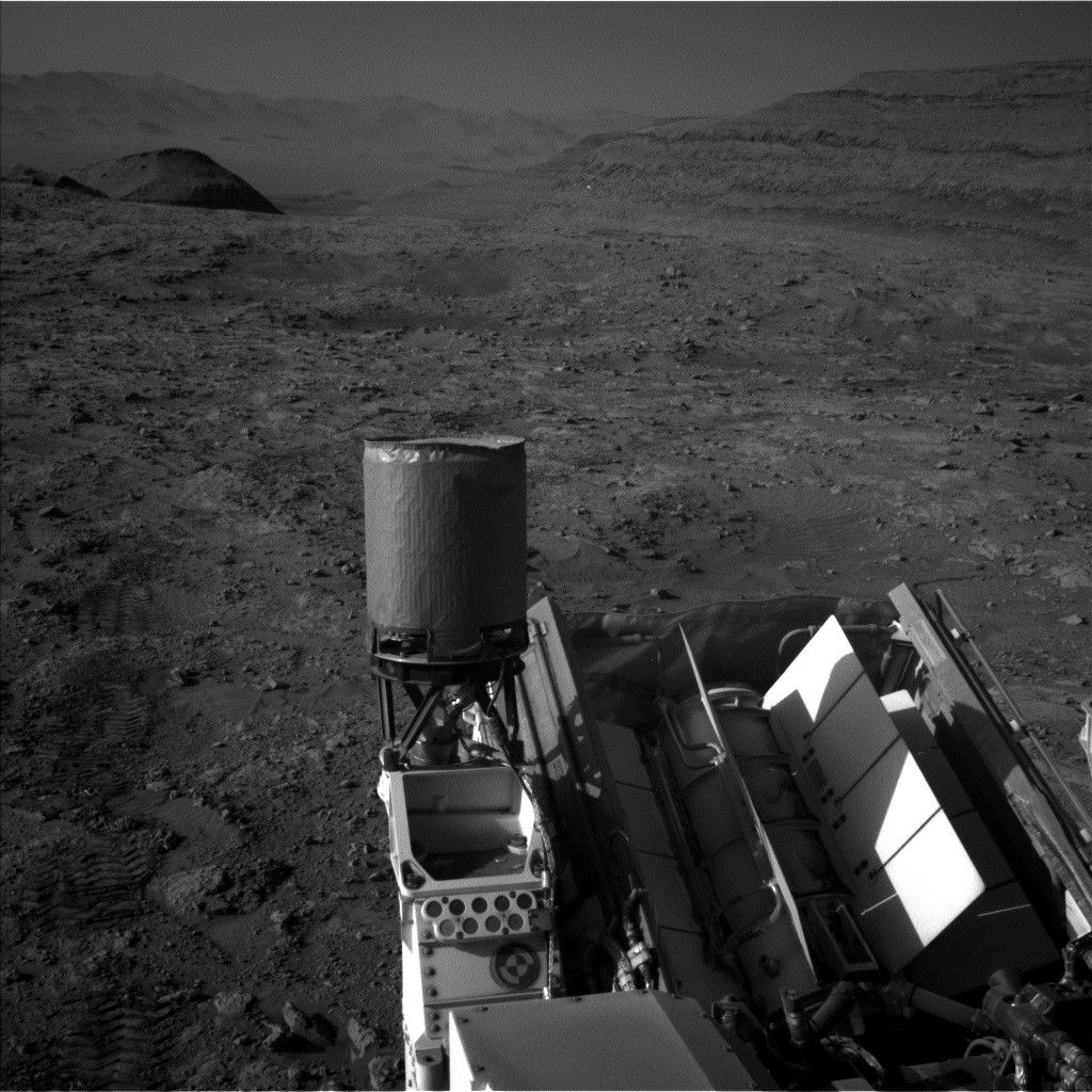
- After completing its activities, the rover will take an image of the terrain beneath it using MARDI, and then proceed with standard REMS, DAN, and RAD activities to round out its plan.
2 min read
Sol 4553: Back to the Boxwork!
Written by Lucy Thompson, Planetary Geologist at University of New Brunswick
Earth planning date: Tuesday, May 27, 2005
We return to planning today after a successful long weekend and about 42 meters of drive distance (about 138 feet). We planned four sols of activities on Friday to keep Curiosity busy, while the U.S.-based science team and engineers took time off yesterday for the Memorial Day holiday. As we got to admire the new workspace and drive direction view in front of the rover this morning, I realized that we have now driven about 35 kilometers (about 22 miles) and climbed more than 850 meters (2,789 feet) in elevation since landing nearly 13 years ago, and we continue to do exciting science on Mars, having recently driven onto new terrain.
The so-called boxwork structures are a series of resistant ridges observed both from orbit and in long-distance rover imaging (see Ashley’s blog here). Not only are the ridges of interest (do they indicate enhanced fluid-flow and cementation?), but the outcrop expression in general changed after we drove over a shallow trough onto the rocks that host the ridges.
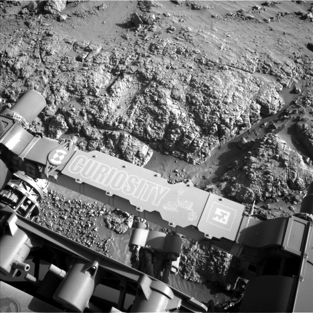
This plan will continue characterization of the interesting boxwork terrain. We had an example of a more resistant, ridge-like feature in our workspace today (see accompanying image). The composition of the ridge will be investigated using ChemCam (target “Sisquoc River”) and APXS (target “Palo Verde Mountains”), with accompanying Mastcam and MAHLI images. We will also acquire Mastcam imaging of a trough-like feature surrounding a bedrock slab, as part of our ongoing documentation of such structures, as well as of an apparent resistant boxwork ridge in the distance (“Lake Cachuma”). And a first for our mission, we are planning the longest-distance ChemCam remote imaging mosaic that we will have acquired — 91 kilometers (almost 57 miles) away! The intent is to compare the long-distance view from the ground with HiRISE orbital images in an attempt to create a 3D view. We also managed to squeeze in a Navcam large dust-devil survey before the planned 24-meter drive (about 79 feet). Once we arrive at our new location, MARDI will take an image of the terrain beneath the rover.
The plan is rounded out with the standard REMS, DAN and RAD activities.