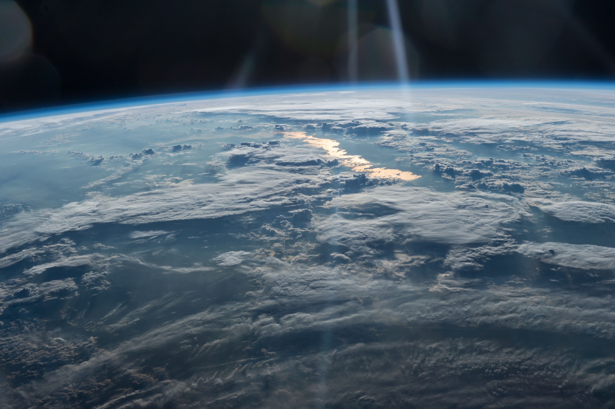
Golden Lake
- The International Space Station has been capturing hundreds of thousands of images of Earth since its operationalization in November 2000.
- These photographs, known as Crew Earth Observations, help scientists monitor changes on our planet due to human activity and natural events.
- The space station’s images also aid in disaster response and monitoring phenomena such as glacier movement and urban wildlife.
- The data collected by the space station informs long-duration missions like Artemis and future human expeditions to Mars.
- By studying Earth from space, scientists can better understand our planet’s dynamics and make more informed decisions about its management and conservation.
Golden sunglint highlights Lake Balkhash in this May 31, 2016, photo taken from the International Space Station. The large lake in Kazakhstan is one of the largest lakes in Asia and is the 15th largest lake in the world.
Since the space station became operational in November 2000, crew members have produced hundreds of thousands of images of the land, oceans, and atmosphere of Earth, and even of the Moon through Crew Earth Observations. Their photographs of Earth record how the planet changes over time due to human activity and natural events. This allows scientists to monitor disasters and direct response on the ground and study a number of phenomena, from the movement of glaciers to urban wildlife.
In addition, other activity aboard the space station helps inform long-duration missions like Artemis and future human expeditions to Mars.
Image credit: NASA/Tim Kopra

