
Cartography
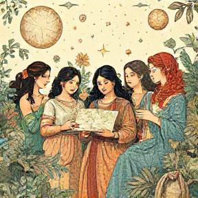
Women have been mapping the world for centuries – and now they’re speaking up for the people left out of those maps
Women have been mapping the world for centuries – and now they’re speaking up for the people left out of those maps Women have been mapping the world for centuries, but their contributions to cartography have long been overlooked. Despite this, women have played a significant role in shaping our understanding of the world and […]
📰 News
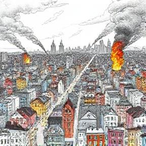
From flammable neighborhoods to moral hazards, fire insurance maps capture early US cities and the landscape of discrimination
From flammable neighborhoods to moral hazards, fire insurance maps capture early US cities and the landscape of discrimination Fire insurance maps were created from the 1860s to the 1970s for every city in the US with a population over 1,000 people, comprising over 700,000 map sheets that are now publicly accessible through the Library of […]
📰 News