
EarthObservation

Lightning from Above
Lightning from Above NASA astronaut Nichole Ayers captured an image of lightning from above while orbiting the International Space Station. The image was taken on July 1, 2025, over Milan, Italy, at an altitude of more than 250 miles. Storm observations from space help scientists study Earth’s upper atmosphere and improve weather models. The data […]
🔬 Science
The State of CERES: Updates and Highlights
The State of CERES: Updates and Highlights CERES (Clouds and the Earth’s Radiant Energy System) instruments and data products have been discussed at recent meetings, including updates on global mean surface temperature, cloud algorithms, and changes in SW flux. The CERES discussions compared ERB (Earth Radiation Budget) instruments, irradiance trends at different levels of the […]
🔬 Science
The Earth Observer: Offering Perspectives from Space through Time
The Earth Observer: Offering Perspectives from Space through Time NASA has launched numerous satellite missions over the past 36 years to study Earth’s climate, land surface, ice sheets, and oceans. The Orbiting Carbon Observatory (OCO) series of satellites measures atmospheric CO2 concentrations, while the Soil Moisture Active Passive (SMAP) mission maps soil moisture and freeze-thaw […]
🔬 Science

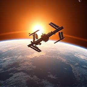
Terra: The End of An Era
Terra: The End of An Era Terra, one of NASA’s EOS flagship satellites, has been operating for over 37 years, far exceeding its original 6-year lifespan. The satellite has provided critical data on Earth’s climate, weather patterns, and natural disasters, including wildfires, hurricanes, and floods. Despite power limitations and orbit adjustments, Terra continues to collect […]
🔬 Science

OPERA: Addressing Societal Needs with Satellite Data
OPERA: Addressing Societal Needs with Satellite Data The OPERA project aims to address critical satellite data needs identified by federal agencies, providing high-quality, ready-to-use satellite-derived information to support environmental monitoring, disaster response, and infrastructure management. OPERA delivers data products in formats that are immediately usable and analysis-ready, eliminating technical barriers that prevent agencies from effectively […]
🔬 Science

City Lights and Atmospheric Glow
City Lights and Atmospheric Glow JAXA astronaut Kimiya Yui captured a stunning photo of southern Europe and the northwestern Mediterranean coast from the International Space Station on August 30, 2025. The photo shows the Po Valley urban corridor in Italy, with metropolitan areas of Milan and Turin shining brightly alongside their surrounding suburbs. Crew members […]
🔬 Science

Golden Lake
Golden Lake The International Space Station has been capturing hundreds of thousands of images of Earth since its operationalization in November 2000. These photographs, known as Crew Earth Observations, help scientists monitor changes on our planet due to human activity and natural events. The space station’s images also aid in disaster response and monitoring phenomena […]
🔬 Science
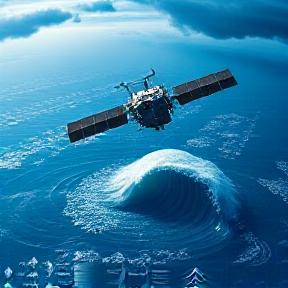
US-French SWOT Satellite Measures Tsunami After Massive Quake
US-French SWOT Satellite Measures Tsunami After Massive Quake The US-French SWOT satellite successfully measured tsunami waves after a massive earthquake off Russia’s Kamchatka Peninsula on July 30, providing crucial data for improving tsunami forecast models. The satellite captured the leading edge of the tsunami wave about 70 minutes after the earthquake struck, revealing a wave […]
📰 News

NASA’s PACE Mission Reveals a Year of Terrestrial Data on Plant Health
NASA’s PACE Mission Reveals a Year of Terrestrial Data on Plant Health NASA’s PACE Mission Reveals Year-Long Terrestrial Data on Plant Health: The mission has gathered a complete year of data to show changes in plant health, using three pigments: chlorophyll, anthocyanins, and carotenoids. Improved Visualization: The combination of these three pigments allows scientists to […]
🔬 Science
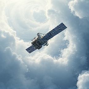
Testing in the Clouds: NASA Flies to Improve Satellite Data
Testing in the Clouds: NASA Flies to Improve Satellite Data NASA’s ER-2 science aircraft flew instruments designed to improve satellite data products and Earth science observations in February 2025, as part of the GSFC Lidar Observation and Validation Experiment (GLOVE). The GLOVE experiment aims to validate satellite data about cloud and airborne particles in the […]
🔬 Science